Кейсы
Пресс-центр
Мобильное меню
Раскрытое мобильное меню
All products
We take on complex non - standard tasks.
ENG
RU
KZ
AM
Navigation API
Finding directions is the basis for logistics and transport management. The 2GIS API works with all types of routes: for cars, trucks, scooters, bicycles and pedestrians — and takes into account traffic jams, blockages and barriers

API навигатора

Routes for all business occasions
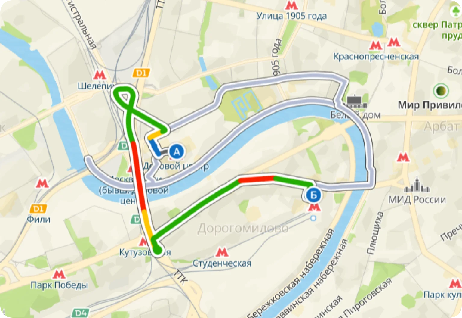
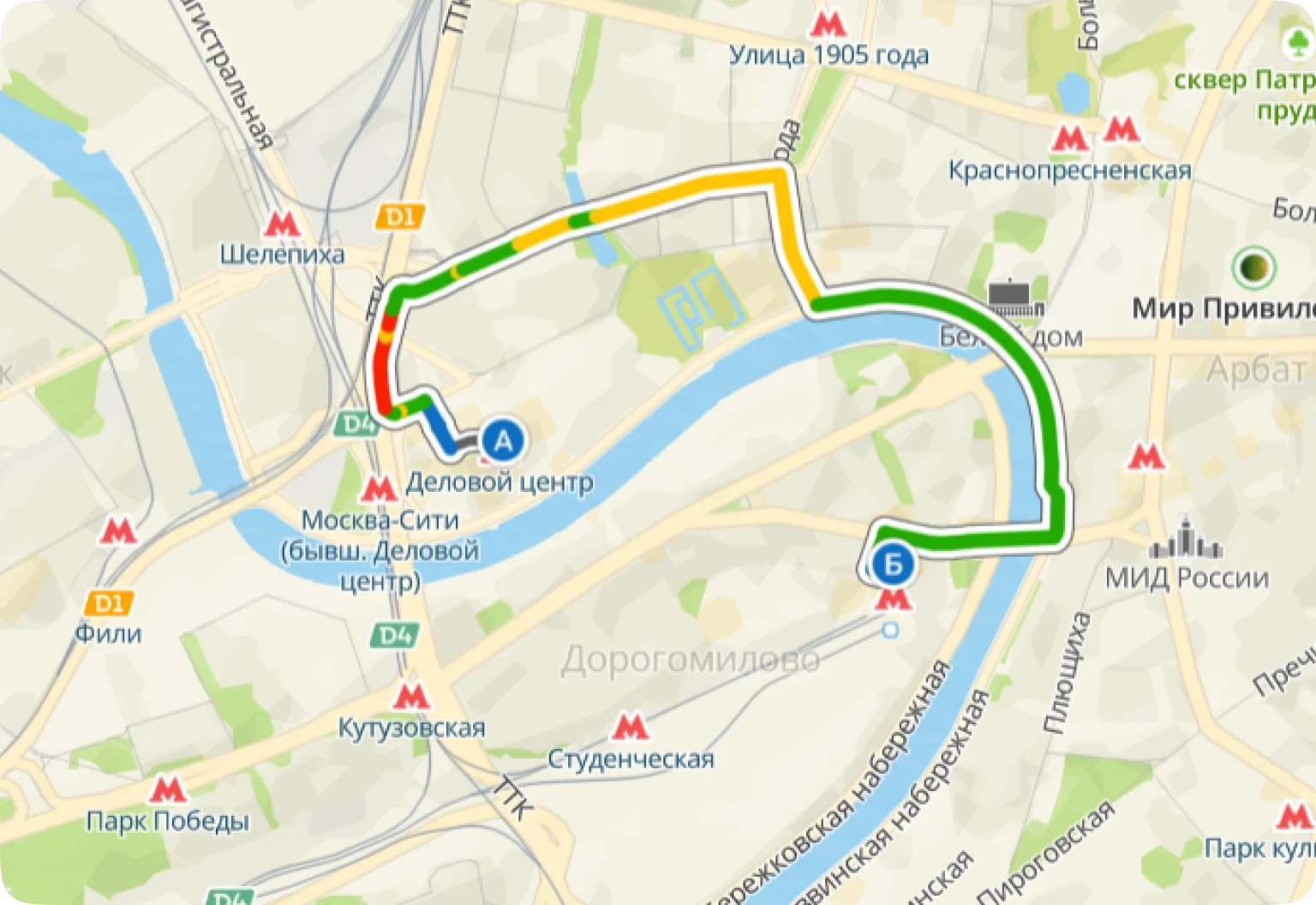
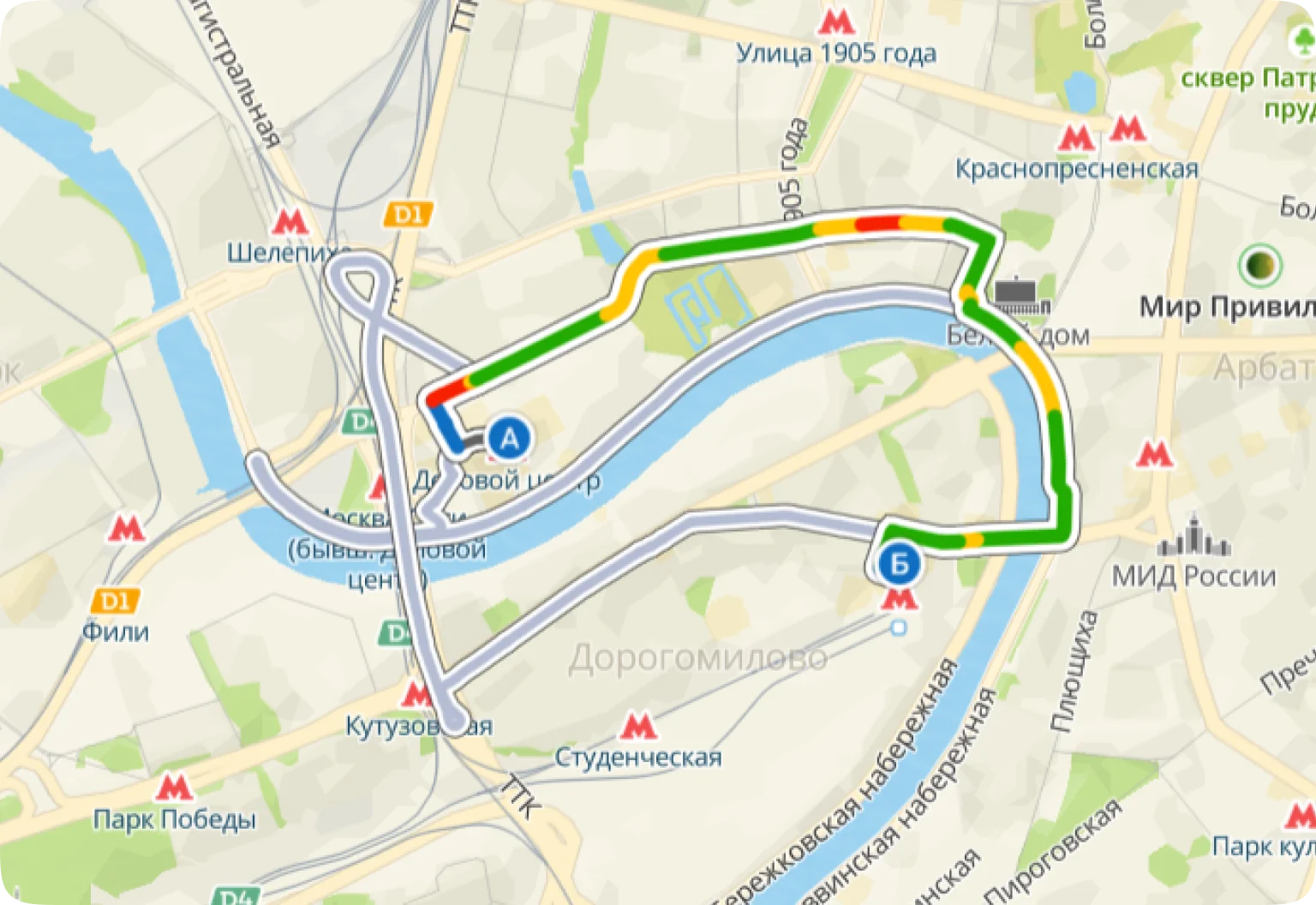
Accurately determines geolocation and gives hints on which lane to take for maneuver, builds time-accurate routes taking into account traffic in public transport lanes, the current traffic situation and traffic jam forecast.
For taxis
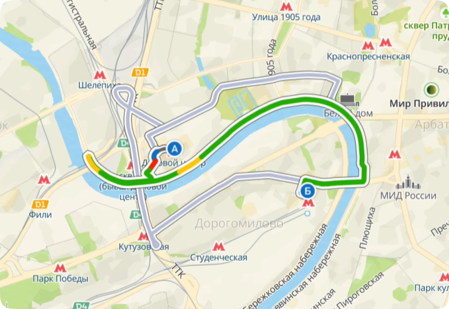
Optimal routes with accurate calculation of travel time. Choose the optimal route taking into account traffic situation, current and predicted traffic jams, speed limits and dozens of other factors — road surface, tolls, lane signs, blockages, barriers, internal driveways, etc. Routes are built exactly to the desired entrance, driveway, house, parking lot.
For passenger cars
The 2GIS API will help you build delivery zones and estimate the speed of urgent delivery within the selected zone — both for one courier with a single order and for an entire team with several delivery orders. You can build a complex route through several points in the optimal sequence, calculate the travel time exactly to the door.
For delivery services
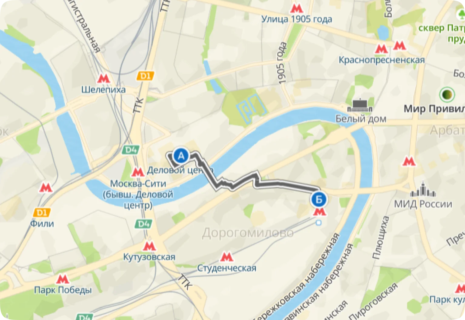
Routes for walking couriers are built taking into account fences, gates and pedestrian crossings, for couriers by car — taking into account restricted entry zones, barriers, and internal driveways.
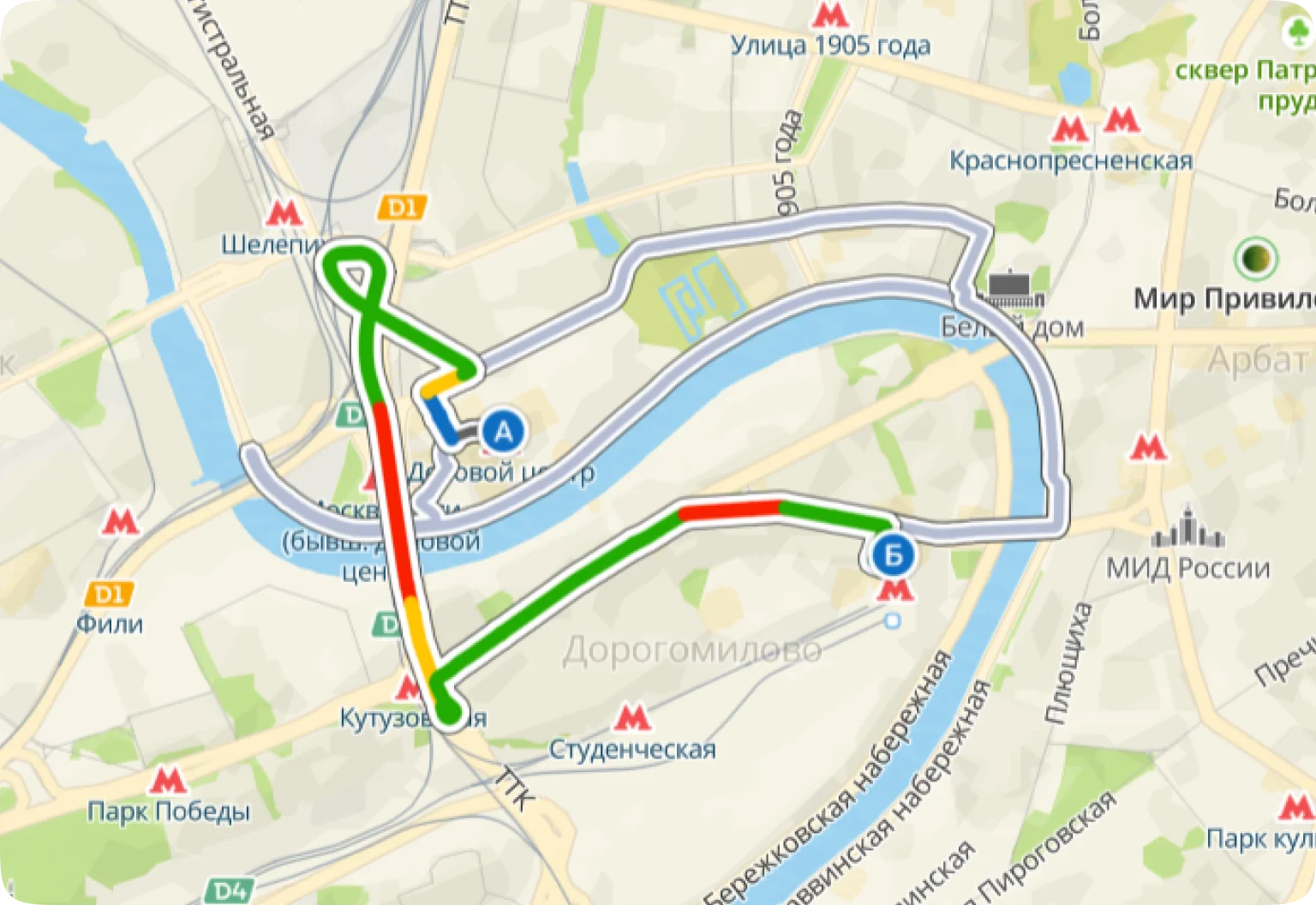
The algorithms can build routes within the zones of the No Trucks signs and suggest entries and exits from the zones according to traffic regulations. They take into account the permitted maximum weight, dimensions of the vehicles, specifics of the cargo, road width and turning dimensions. Available in 9 countries.
For trucks
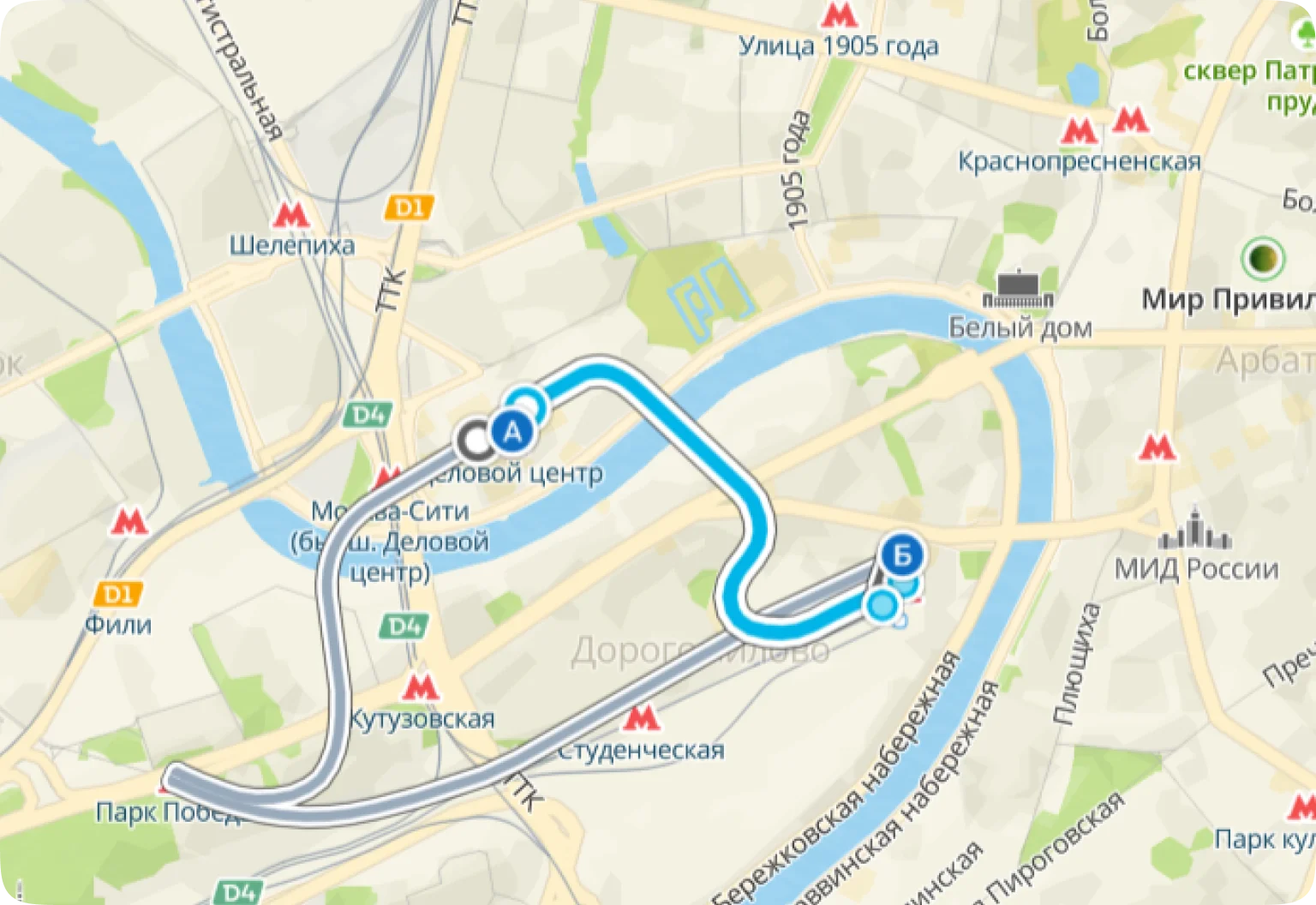
You can use On-Premise for complete data security and offline operation, reducing the risk of failures. Routes are built taking into account information about obstacles on the way, such as road works, accidents, barriers. For emergency services and taxis, routes can be built using public transport lanes.
For special-purpose vehicles
Detailed diagrams of large and multi-story objects support building routes. The API builds routes to any point inside buildings, finds ways to get to the desired floor by elevator, escalator or stairs, and finds the nearest exits and entrances.
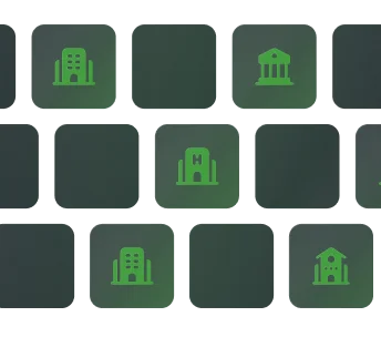
For shopping centers, stadiums, museums and other spaces
Routes for all types of transport and pedestrians, even inside large buildings
It calculates the distance and travel time from a given point, taking into account all factors that may affect the road: weather, traffic jams, road signs, temporary travel restrictions or vehicle dimensions, including the dimensions of a truck. The API provides information about the reachability of specific points and helps select points with the required time to reach.
Distance Matrix API
It calculates the area on the map that is reachable from a given point in a given time, on foot, by car or by bicycle. This way, you can calculate the time it will take the courier to reach any point in the delivery zone. Additionally, you can build a route through several delivery zones in the desired sequence.
Isochrone API
It builds car routes taking into account real and predicted traffic jams, bypassing toll and dirt roads. In urban conditions, where the GPS signal may work intermittently, the azimuth of movement is taken into account in order to choose the right lane and build the correct route. The API supports routes through several delivery zones in a given sequence.
Directions API
It solves the traveling salesman problem (TSP/VRP) and builds the shortest route, in terms of time or distance, to bypass several points. It supports finding routes for one courier as well as for several couriers.
TSP API
It builds routes for freight transport — taking into account the dimensions and weight, and excluding streets where passage for large vehicles is limited.
Truck Directions API
It builds public transport routes. Per one API request, you can get several travel options — buses, metro, trolleybuses and other types of transport, in order to choose the most suitable one, in terms of duration and number of transfers.
Public Transport API
It calculates several routes per call to match them. Length, travel time and full geometry can be obtained for each route. Car routes with and without public transport lanes, pedestrian routes and bicycle routes are supported.
Pairs Directions API
Didn’t find the right method to solve your problem? Contact us!
It builds one or more routes on the map for cars, taxis, trucks, pedestrians, bicycles and emergency services. Supports composite routes with intermediate points. Length, travel time and full geometry can be obtained for each route.
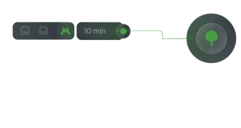
Routing API
It compares GPS sensor data with a real road graph. This allows you to recreate the exact route on public roads, provide route monitoring and calculate path parameters.
Map Matching API
Four reasons to choose 2GIS
At the heart of all decisions, data that we ourselves collect and update
Since 1999, we have been working with data you can trust
We are trusted by thousands of clients in Russia and the CIS countries
Building freight routes is available in the following countries:
  • Azerbaijan
  • Belarus
  • Kazakhstan
  • Kyrgyzstan
  • Uzbekistan
  • United Arab Emirates
  • Oman
  • Russia
  • Saudi Arabia